Prompts
These are self guided covid style walks which were conceived or in some cases re-conceived for Works on Water/Underwater NYC’s instagram feed. My content involves an opportunity to take some self-guided walks (in person or on Google maps) around some long erased shorelines in hopes that we can re-imagine what used to be here and what we can learn/create from its erasure.
Most of my map explorations into Manahatta start with a visit to the Welikia map, https://welikia.org/m-map.php , for some quick geo-reference of pre-1609 Manhattan. Eric Sanderson and co. created an amazing and painstakingly detailed reference of what flora and fauna and features were present on what we now call Manhattan Island before European tampering.
Quadrangle, © Edmund Mooney 2020
Prompt #1 (in person or through Google satellite view)
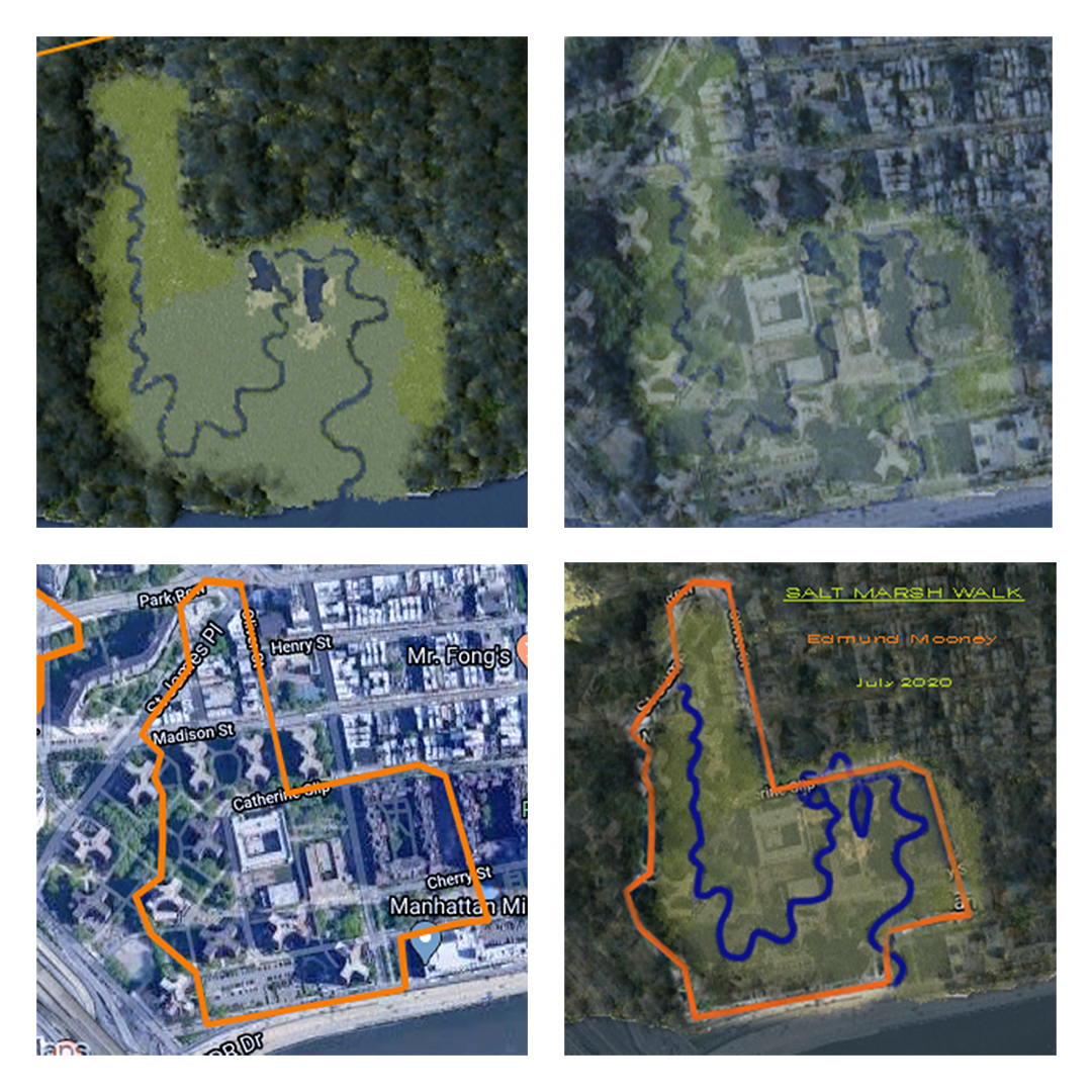
1) Go to the top of Kimlau Square in Manhattan.
2) Use my google map as a reference to walk the periphery of the long erased salt marsh. It should take about 20 minutes depending on your mobility level and how lost you will allow yourself to get. No point on the map is inaccessible to a wheelchair.
3) Make a note of any places that seem impassable and adjust your route to get as close to the map footprint as possible.